There are some great day hikes out of Kagbeni for the trekkers who want to spend a few days in and around this charming Tibetan-like town.
 Lupra
Lupra
A short day trip from Kagbeni is a trip to the Bön town of Lupra. This walk can be done in a loop, ascending and crossing the main Muktinath footpath above Eklaibhatti, and bearing right on the mesa to Lupra. We have seen Himalayan pheasants and blue sheep here, as we descended down toward Lupra.
At the base of the river, before crossing to the Lupra side, look up at the cave approximately 50 m. above. This cave is used for long term meditation, ranging from 30 days to six months and more. We were lucky enough to be shown around by Yong, a young monk schooled in India who was preparing the cave for someone’s long meditation. There is a balcony with a seating area for meditation, a small cooking area, and sleeping quarters with shelving. But the upper level where the heavy duty isolated meditation takes place includes a very small area with a four foot ceiling, maybe three feet
deep and even less across. There is a slot to insert food and drink for the monk. Yong said he had meditated once for 30 days and he never again wanted to do it.
Crossing the river to Lupra, climb the main road through town to the newly renovated gompa. Remember to circumnavigate around the chortens counterclockwise. The Bön religion predates Buddhism.
You can get back to Kagbeni along the river – there is now a jeep road – passing through Eklaibhatti, a small town named after the original ‘Lonely Inn’.
For rock hounds, go straight up the goat herders’ path instead of bearing right to Lupra. This area has a good variety of rocks with shaligrams (black ammonite fossils) becoming more common the higher you go. By the time you reach the saddle, they are everywhere. We continued up further still, bushwacking a bit until we reached the pass between Lupra and Khingar and followed goat trail down to a delicious lunch and thongba (local ‘beer’) at the Blue Sheep Valley Inn.
The round trip to Lupra takes around four hours, and the roundabout rock hound trek took about six hours.
Tiri
A new fun day-trip from Kagbeni is to Tiri. I say ‘new’ because it was not allowed as recently as 2007, since the village is part of upper Mustang and therefore prohibited to foreigners without a proper permits. Tiri is a 40 minute walk, and home to an 800-year-old nunnery. You begin this trip by crossing the Kali Gandaki river just opposite Kagbeni’s riverside dharamsala (pilgrim resthouse) where you often see Indian ladies in red saris, bathing and doing laundry. The dharamsala is near the sacred beni or ‘fork of two rivers’ on a newly-built embankment. With their long saris laid out to dry in every shade of red, orange and pink, the ghat is alive with color.
Cross the river on the bridge, then proceed on the riverside trail going north. The trail is easy once you pass the avalanche scree just beyond the bridge. This is the summer route upriver, taken only when the river is too high to ford. At other times of year it is possible to ford the river just down from the police check post at the top end of Kagbeni. Follow the path past wheat, barley or buckwheat fields, the grain swaying in the inevitable strong Kali Gandaki winds. High above the town are sacred burial chortens and a particularly nice collection of mani prayer stones. Enjoy the view or scramble up the hill to the nunnery.
Having been to Tiri twice before we decided to ‘push the envelope’ a bit and followed a new tractor road leading up and away from town, hoping to catch sight of a large wildcat, as on a previous visit. Upon reaching the top of the gentle grade, the road to the gompa switched back and we continued straight on the foot path, encouraged by numerous cairns, chortens, prayer flags and finally settled into a goat herder’s stone windbreak – perfect for our picnic lunch of Kagbeni bread with New-Zealand grass-fed cheddar and peanuts.
Watching the road grader across the Kali Gandaki valley steadily eating a path of roadway north to Lo Manthang, we decided to venture to the end of a far off mesa to get a better view of Tangbe, whose greenery and red gompa we could barely see from our picnic site. Inch-long lizards scampered through the colorful rocks as we passed, a serene group of horses pastured at the far end of the mesa. With a 50-mph wind at our backs and the promise of a forbidden glimpse of upper Mustang (we didn’t have the requisite permits), our steps were lively. Again taking refuge from the wind in a break thoughtfully provided by a shepherd, we gazed down at Tangbe village, surprised by its size and that it was so high off the river above a huge vertical cliff that looked as though it had been carved by God’s Grader.
Earlier in the day, we had watched horsemen going south on the Kagbeni side of the river, a couple of people fording the river from the Tiri side on their way to Tangbe, but by this time of day, 2 o’clock pm, the wind had picked up to the point where only mad-dogs and Americans were out and about. We faced its full force as we turned south to go back to Kagbeni. If that avalanche scree was difficult before it was downright scary now with wind whipping at our faces. We made it home to the Red House, popped in the shower, ordered milk tea and popcorn in the solarium rooftop restaurant and gazed at our far mesa. Another 12 km. day in paradise, or should I say Shangri La?
The Raja’s picnic grounds
For another nice day hike, go south from Kagbeni through Eklaibhatti (the ‘Lonely Inn’), and cross the windy suspension bridge over the Kali Gandaki west towards Pilling. This is the first of three towns that Annapurna Conservation Area (ACAP) project now proposes as an “alternative trekking route” to bypass the new jeep road. Pilling is a lovely agricultural village with traditional flat roofs, and white prayer flags. Move on (and up) to Palak, where you can rest outside the lovely central gompa, surrounded by wooden windows painted with lions or conch shells. In both Palak and Dhakarjhong painted images predominate over the carved wood images more common in Kagbeni, Jharkot and Jhong.
Moving on again to Dhakarjhong, proceed along the waterway to the Raja’s Picnic Grounds, known locally as Lung Buk.
Take the upper footpath rather than descending to the new jeep path that extends some 20 minutes up the stream. As you walk up the stream, the higher the elevation, the more diverse the alpine flowers. After a steady uphill along the pathway, occasionally marked by blue or yellow arrows painted on rocks, you come to a seeping sheer cliff with silk khata scarves strewn haphazardly through a tree, looking for all the world like an intricate web of cocoons. Continue up the path another 15 minutes to a chorten. There you will see Lung Buk: prayer flags and khatas criss-crossed in a gay fashion. There’s also a large gaping cave, with cheerful yellow primroses at the base of the stairs leading up to it.
Inside the cave is a cooking area, upstairs a small shrine with photos of the Dalai Lama and other Rimpoches and Lamas. Pots, pans, butter lamps, wicks, matches, candles, tea, powdered milk and ramen noodle packets are stored in this room, too. Off to the right is a sleeping platform and to the left some small seeping caves only about three or four feet high. When we were there, on a Wednesday, we had the cave all to ourselves. When we went again on a Saturday, Lung Buk was filled with young picnickers showing us all the features, such as the holy mountain spring water meant to be drunk from inside the low clearance cave. They sang and laughed as they walked the paths.
From the cave you can see huge waterfalls high up the steep rock faces and goats scrambling across the mountain. If you listen, you can hear their bells jangling from afar. Looking southward, down valley, the Niligiri massif shows her white snowcaps through the clouds, and sometimes up to the east you can see Jharkot and the distinctive white walls of the Muktinath pilgrimage shrine in the distance.
The descending scramble down the rocky path takes about an hour back to Dhakarjhong and another hour back upriver again to Kagbeni. It’s a 20 km. round trip. g
A. Michelle Page is a freelance writer and serious trekker from California who also commissions and sells folk art from Nepal all over the world. Her main subject matter is dogs. Her website is at www.NepalDog.com and her blog is at http://nepaldog.typepad.com/danger_dog_blog. Michelle can be contacted at ampage1@gmail.com.
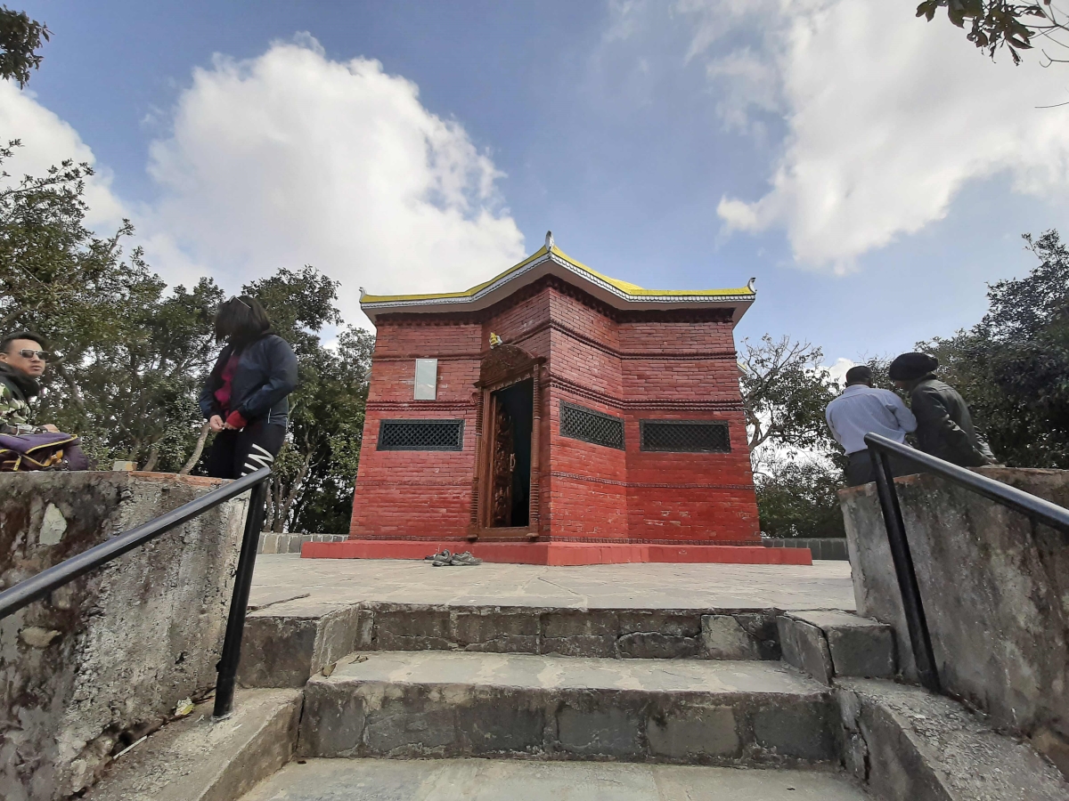
Hiking Through History
After hiking for hours, we finally reached the park. The first thing we saw was the tomb of...