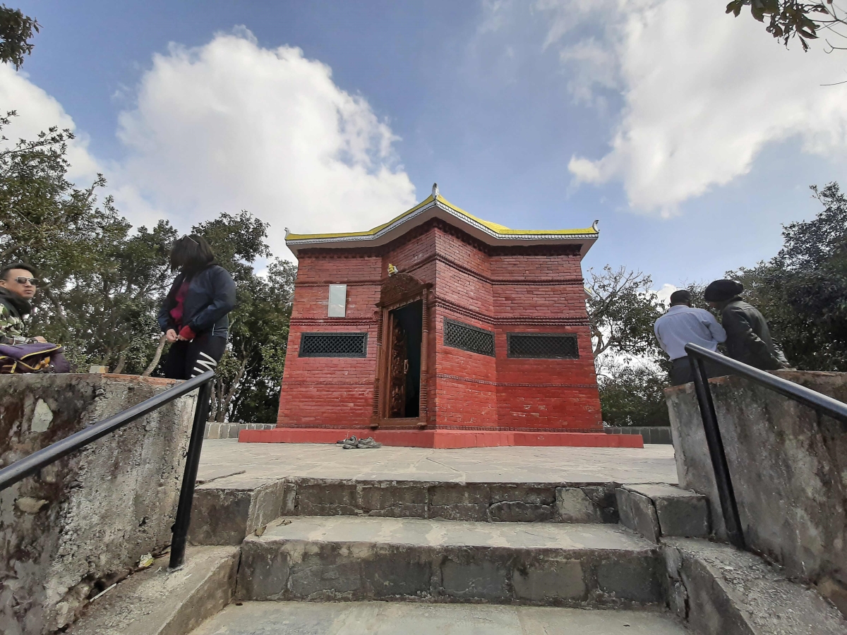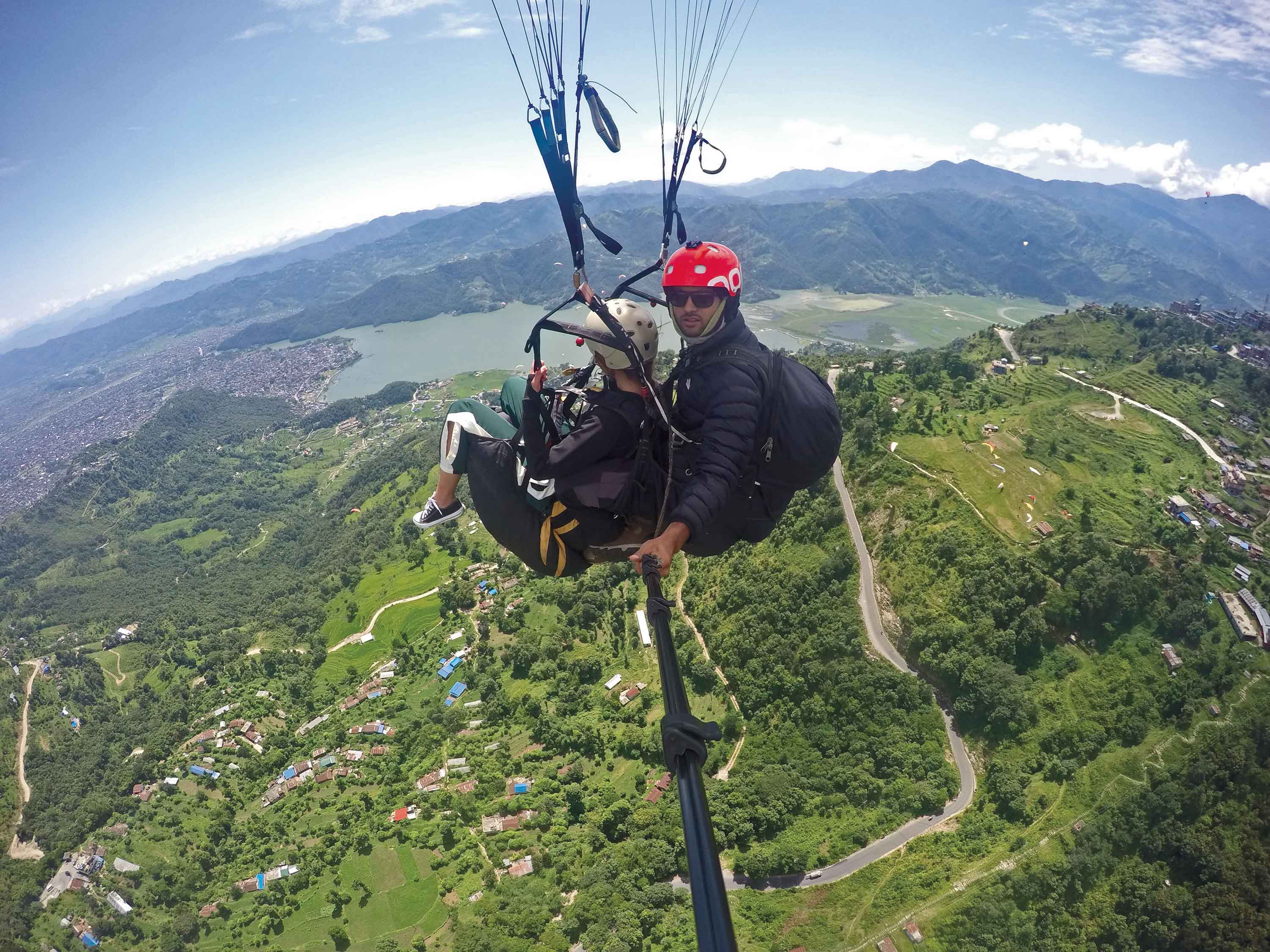
As the rains have helped clear the dirty sky of dust and smoke in post monsoon Kathmandu, one should go to the roof top and look around the Kathmandu valley. The skyline is very impressive and green. These hills that surround the valley are the source of water for the numerous settlements and a habitat for unique birds, plants and animals. In ancient times, the four prominent peaks that marked the key vantage points around the valley were called Sipucho(shivapuri) to the north, Jamacho ( above Nagarjun hill) to the north-west, Dhilacho ( Chandragiri) to the south-west, and Pucho ( Pulchowki) to the south. Cho in Newari means “tip” or point and pu-cho for example would literally mean the tip with ice, frost or snow. As with everything else in Nepal these high points are also the abode of the gods, saints and the sacred places of worship.
 These summits are all accessible by foot trails or mountain bikes and in the case of Phulchowki, also accessible by jeep. The residents of the valley are encouraged to scale these heights on particular days of the year. The view of the valley is quite something and a hike is recommended to anyone and at all times of the year. If it is good for the soul, it is definitely good for the legs, heart, belly and muscles. Recent event also require that some safety precautions be taken.
A closer look at the skyline will also reveal the CHAR BHANJYANG (four passes). These distinct depressions in the skyline have played a very critical function for all movement in and out of the valley today and throughout history. To the north, for example, is Kakani and the main trade route to Tibet that ensured prosperity for the valley residents for centuries. This route passing through valleys that lead to Kirung, through Nuwakot, was also the route followed by the Nepalis army to wage war on Tibet and in 1792, the route the Chinese army followed towards Kathmandu. The peace treaty to end the Nepal-China-Tibet war was signed on the banks of the Betrawadi, just north of Kakani.
It was through the small villages of Chitlang and Markhu, just below the Chandragiri peak, from where all the European furnitures, glasses, mirrors, chandeliers, and cars were carried over into the valley to decorate the Rana Palaces until the building of the first highway in the 1950s.
To appreciate what it must have been for the Vipaswi Buddha to plant the lotus seed from Jamacho on the full moon day of Chaitra, for Manjushree to look down at Swayambhu and decide to drain the lake to start human settlements, or for the ambitious King of Gorkha, Prithvi Narayan Shah to design his military strategy to lay seize on the Kathmandu valley, we have to put on our boots and head up. Some day, we hope, there will be a “skyline drive” linking these sites and enabling us to appreciate a view from the valley rim a little more frequently and conveniently.